Grayson Highlands State Park
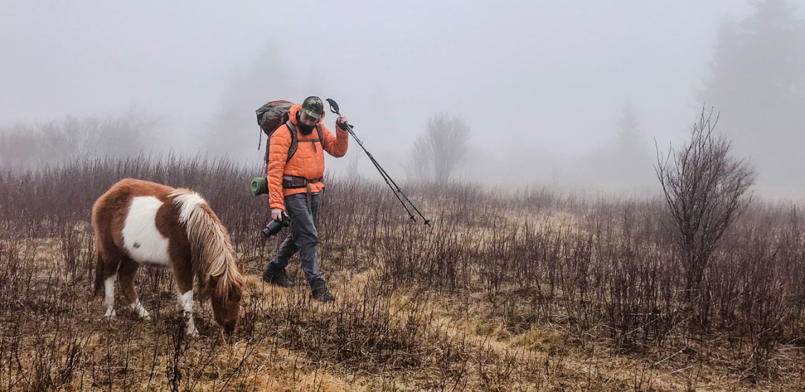
Experience alpine hiking in the company of wild ponies
Words and photos by Jess Gaddy, Shrimp & Grisettes
Located just minutes across the border of North Carolina into Virginia, Grayson Highlands is a state park protected by the Virginia Department of Conservation and Recreation. What looks and feels like a West Coast mountain range is less than a three-hour drive from the Ballantyne development.
Established in 1965, Grayson Highlands is nestled between Virginia’s two highest mountains, Mount Rogers and Whitetop Mountain. The park itself stretches over 4,500 acres. Hikes range from soft-dirt beginner trails to rocky slopes padded by evergreen trees, rhododendrons and mountain laurels.
The visitor center and gift shop sit at the park’s lowest elevation of 3,600 feet. Check in for hiking information and a state park map to plan your route.
The multi-trail options are endless as they overlap and connect, putting explorers-at-heart on an adventure high. A popular choice: Hike the park’s highest elevation gain at over 5,000 feet to Little Pinnacle Summit, a short 0.8-mile out-and-back trail that takes roughly 24 minutes.
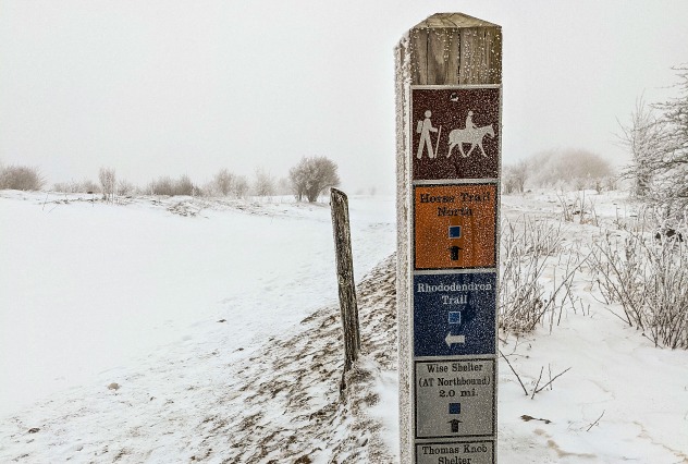
The park’s 13 hiking trails range from 0.5 miles to just over 2 miles. Loops and in-and-out routes are explained in the park map, showing those best suited for foot traffic, horseback riding, mountain biking and cross-country skiing.
Hikers and backpackers alike enjoy the uniqueness of the park’s geology, as do mountain bikers, boulder climbers and horse riders. The Rhododendron Trail and Horse Trail North both attach to a section of the Appalachian Trail.